

What is Empowering Women in GIT [ Geospatial Information Technology]?
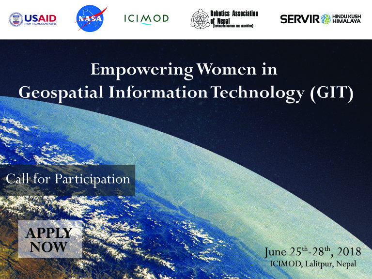
The International Centre for Integrated Mountain Development (ICIMOD), in partnership with Robotics Association of Nepal (RAN), will conduct a four-day training on “Empowering Women in Geospatial Information Technology (GIT)”, Kathmandu, under its SERVIR Hindu Kush Himalaya (SERVIR-HKH) Initiative. In recent years, technology has developed drastically and new innovation is growing day by day. Nepal, though in a slow pace, is also adapting to the technology being developed. But this adaptation has not been proportional in terms of gender. GIS Mapping, one of the leading innovative technology is creating jobs and confidence in people that supports landscape mapping, smart planning and decision making but inclusion of women in GIT related jobs is very less in Nepal as well as in other regional member countries in the HKH region. Therefore, SERVIR-HKH is promoting capacity building activities specially designed for women to develop gender balance workforce in the region. This training course will bring young women from Nepal together and provide theoretical as well as hands on exercises on the use of satellite Earth observation data and GIT. This will cover a range of topics including Earth observation for societal benefits, GIT applications in HKH, concepts of remote sensing and GIS, gender perspectives in GIT, team building, importance of women in GIT, GIS operation and mapping using open source tools, python coding, and use of GEE cloud computing environment to solve emerging environmental problems.
Why Empowering Women in GIT?
Empowering Women in GIT is to help women start and navigate their geospatial careers, gear towards helping women navigate their careers in geospatial industries. . The program believes in advancing the presence of young women in GIT and make them leader in the field of Geospatial technology. While the opportunity is growing in this sector with the change in governance into federal system, the male/female ratio has been uneven and unequal. Male counterparts has been leading this sector and earning a healthy income but female counterparts are out of scope. We believe Empowering Women in GIT would support build a better career with equal opportunity.
Objective
This training aims to train young women from Nepal on the use of Earth observation data and geospatial information technology which will support the efforts to bridge the gender gap in GIT field through empowering and encouraging women to consider careers in GIT and its applications.
Expected Outcomes
Upon the completion of the training, the participants will have a better understanding about the concepts and general applications of Earth observation data and GIT.
Expected Participants
About 80 young women participants with technical knowledge in either field of engineering, survey, computer science, or information technology are expected in this training. Register here: https://goo.gl/EkSA4i
Resource Persons:
Mr. Birendra Bajracharya, Chief of Party, SERVIR-HKH Initiative and Regional Program Manager, MENRIS, ICIMOD
Dr. Mir Matin, Theme Leader, Geospatial Solutions, ICIMOD
Mr. Sudip Pradhan, Program Coordinator – Regional Database Initiative, MENRIS, ICIMOD,
Dr. Laurie Ann Vasily, Head, Knowledge Management and Communication, ICIMOD,
Dr. Rajesh Bahadur Thapa, Capacity Building Specialist, Geospatial Solutions, ICIMOD
Dr. Pranita Bhusan Udas, Gender, Water and Adaptation Specialist, Livelihoods, ICIMOD
Ms. Naina Shakya, Partnership and Private Sector Specialist, SCU, ICIMOD
Mr. Santosh Raj Pathak, Partnership Contract Officer, SCU, ICIMOD
Mr. Utsab Shrestha, Vice-President, Electronics and Communication Engineer, Python Coding Specialist, RAN
Mr. Binod Kandel, Secretary, Electronics and Communication Engineer, QGIS Trainer, RAN
Mr. Rabi Raj Khakda, R&D Head-Software, GEE Trainer, RAN
Mr. Bikash Gurung, President, RAN
Event Day Planning:
Day 1
| Time | Topic |
| 9:00- 9:30 | Registration |
| 9:30-10:00 | Opening session |
| Program Overview and Introduction to the ParticipantsOpening and Welcome Remarks | |
| 10:00-10:30 | Photo Session and Coffee/Tea Break |
| 10:30-12:30 | Morning session |
| Earth Observation and Societal Benefits – Birendra BajracharyaGIT Applications in Hindu Kush Himalaya – Sudip PradhanTeam Building – Naina Shakya and Santosh Raj Pathak | |
| 12:30-13:30 | Lunch |
| 13:30-15:00 | Afternoon session |
| Remote Sensing and Geospatial Concepts – Rajesh Bahadur Thapa | |
| 15:00-16:30 | Coffee/Tea break |
| Gender Perspectives in GIT – Pranita Bhushan UdasImportance of Women in Technology – Bikash Gurung |
Day 2
| Time | Topic |
| 9:00 -12:30 | Morning session |
| Registration and Stationery Distribution Introduction to open source GIS – Binod KandelOverview of QGISMaking a map, working with attributes, importing spreadsheets or CSV files, using plugins, searching and downloading OpenStreetMap Data | |
| 10:30-11:00 | Coffee/Tea break |
| Session continue | |
| 12:30-13:30 | Lunch |
| 13:30-15:00 | Afternoon session |
| Vector styling, calculating line lengths and statistics, raster styling and analysis, raster mosaicing and clipping, working with terrain and WMS data, working with projectionsVector calculation, functions: geometric, arithmetic, mathematic, aggregate, etc.Georeferencing toposheets, scanned maps, and aerial imageryDigitizing map data | |
| 15:00-15:30 | Coffee/Tea break |
| Session continue |
Day 3
| Time | Topic |
| 9:15-12:30 | Morning session |
| Performing table and spatial joinsPoints in polygon analysis, spatial queries, creating heatmapsRaster calculation and expressionExploring tools: geoprocessing, geometry, analysis, and research | |
| 10:30-11:00 | Coffee/Tea break |
| Working with software tools through QGISSAGA, GRASS, GDAL, etc.Nearest neighbor analysisSampling raster data using points or polygons, interpolating point data, and batch processing | |
| 12:30-13:30 | Lunch |
| 13:30-15:00 | Afternoon session |
| Python coding for geospatial data analysis – Utsab ShresthaIntroduction, basics operations, working with functions, lambda function, modules, conditions, loops, lists and dictionaries, exception handling, file handling | |
| 15:00-16:30 | Coffee/Tea break |
| Session continue |
Day 4
| Time | Topic |
| 9:15-12:30 | Morning session |
| Python coding in QGIS – Binod KandelEnvironment setup, python console, python APIRead & display single and multi-bands raster dataManipulating and visualize Vector dataImage collections | |
| 10:30-11:00 | Coffee/Tea break |
| Google Earth Engine using Python Coding – Rabi Raj KhadkaIntroduction to Earth Engine, exploring GEE Interface, datasets, arrays and matrices, time series analysis, tables and vectors, classification, importing and exporting, google maps API, publishing and storytelling | |
| 12:30-13:30 | Lunch |
| 13:30-16:50 | Afternoon session |
| Clipping a raster using a feature, band arithmetic and threshold operations on raster data, resampling a raster, raster to vector – vector to raster conversion | |
| 15:00-15:30 | Coffee/Tea break |
| ReflectionsCertificate distributionVote of thanksClosing remarks |
Venue location:
Kanchanjunga Hall, ICIMOD, Lalitpur
Geographic coordinates: 27° 38’ 47” N, 85° 19’ 24”